Friendship Community, Texas

IMG_1041.JPG
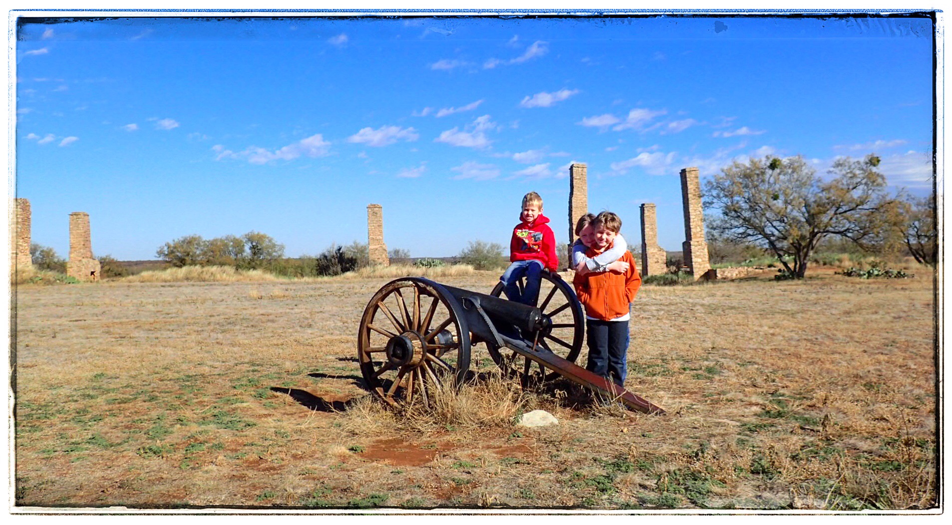
Usually, the Crazy Train is the P5 family. But sometimes, we throw our nearest and dearest into the fold and enjoy whatever chaos ensues.

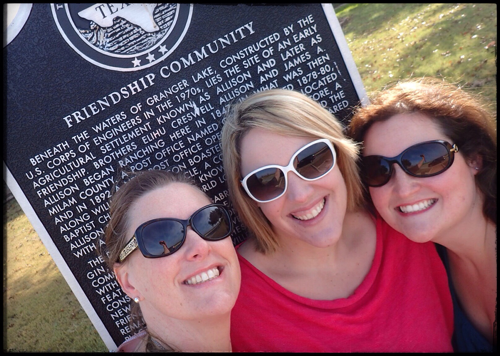
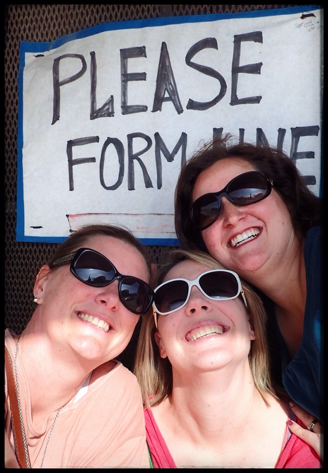
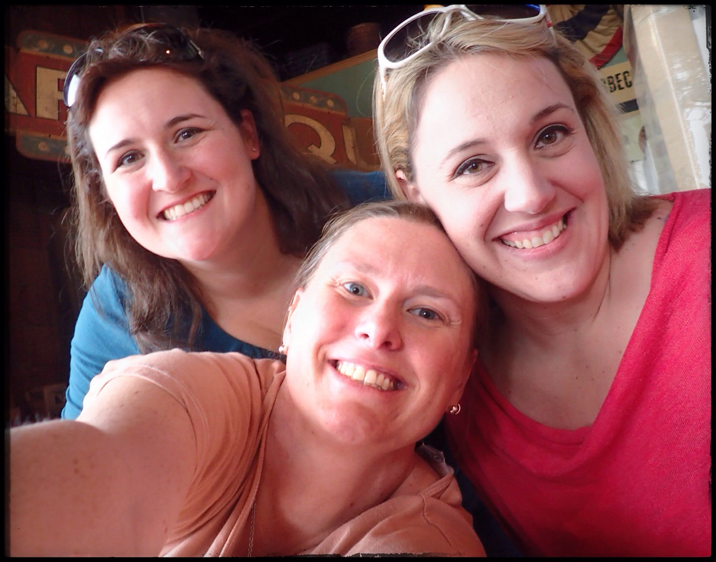
But yesterday was different. I’m happy to introduce– in addition to The Official P5 Line– the estrogen infused, JNJ Line of the Crazy Train. I took my BFFs Nicole and Jessica (and Jess’ son Pierce came along as the official caboose) to a typical half-day run of a Crazy Train Roadtrip, and let’s just say…. well… let’s just say that we already have the next one planned.

So, without further ado… The Inaugural Run of the JNJ Line:

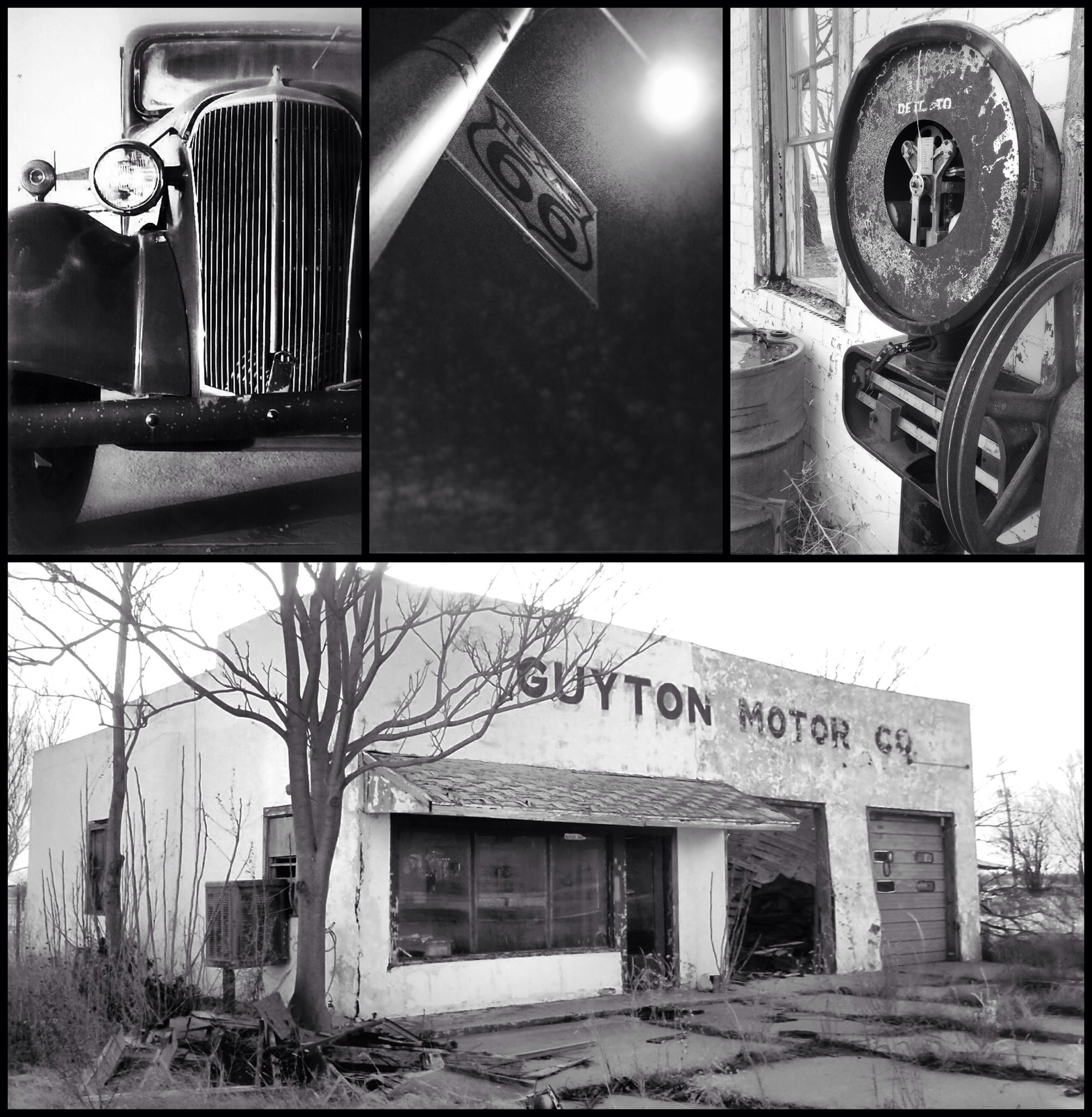
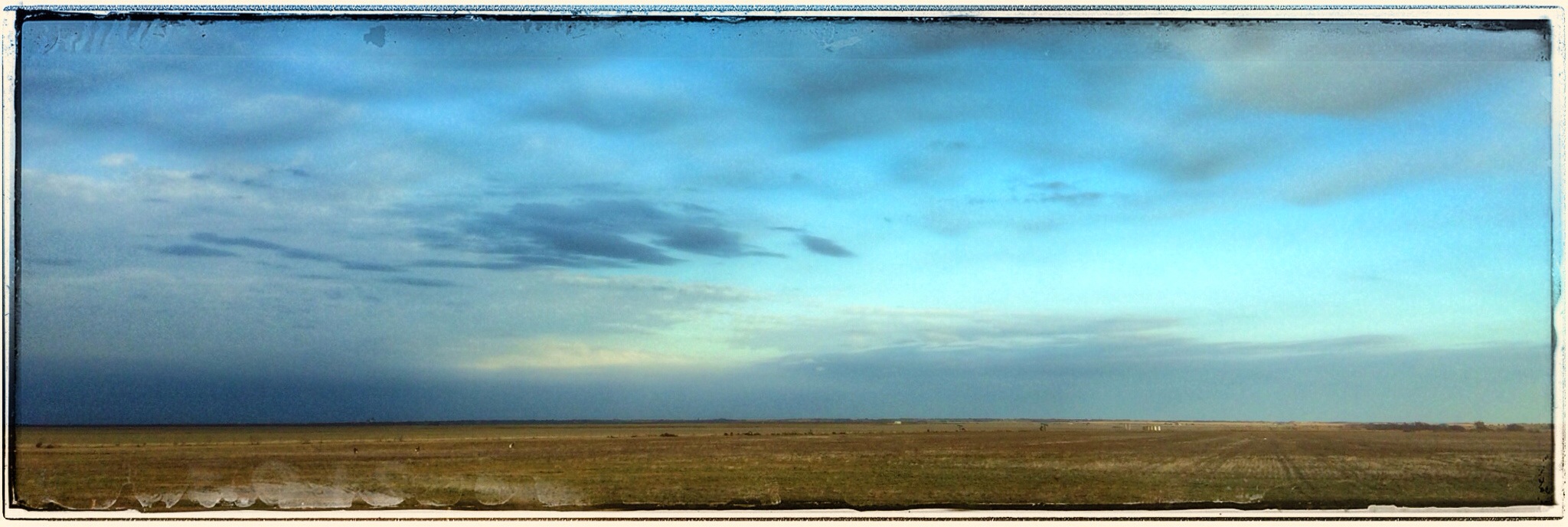
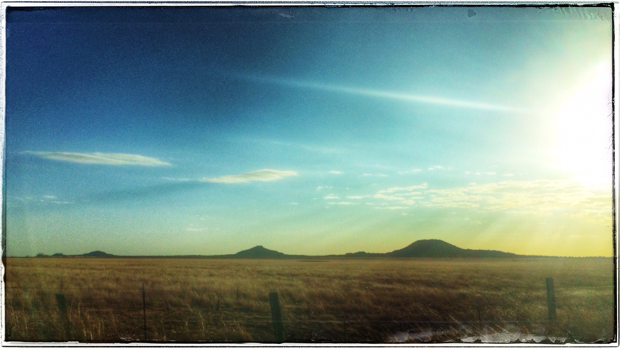
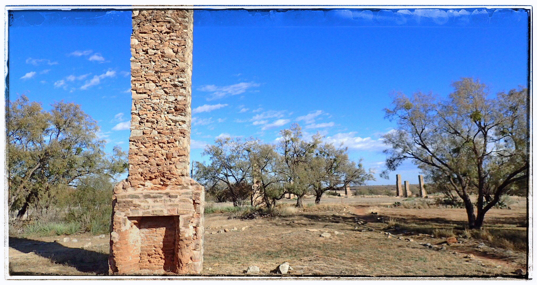
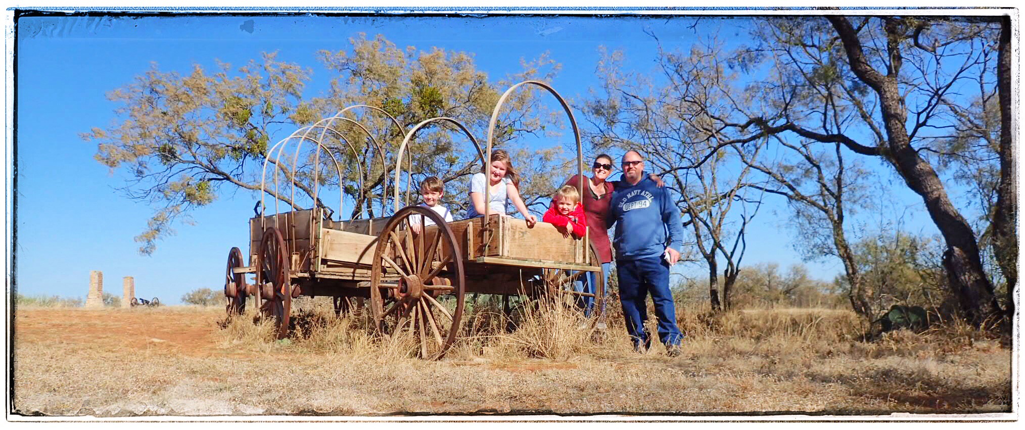
We sent our kidlets off to various institutions of foundational education and we hit the road, bound for the “ghost town” of Friendship Community in Williamson County. Friendship isn’t really a ghost town, per se, since the ENTIRE TOWN is now completely submerged underneath Granger Lake. (Usually, when the three of us are submerged, it’s usually in a glass of wine, but I digress…) Granger Lake was constructed by the US Corps of Engineers in the early 1970s, creating this massive lake that is a really popular place when it’s a thousand degrees here in the summer.

IMG_1040.JPG
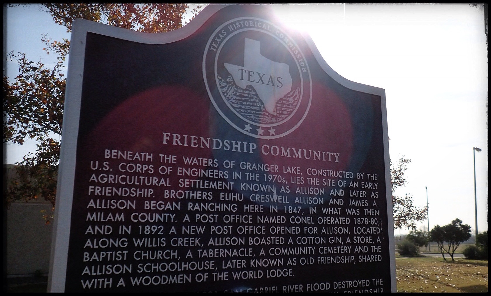
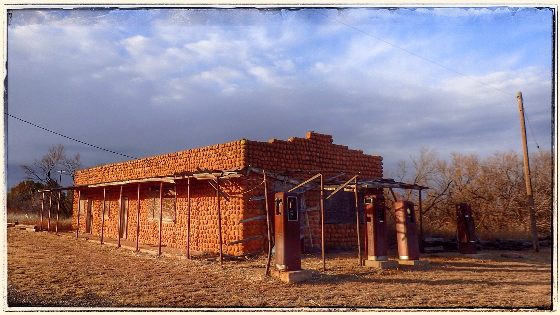
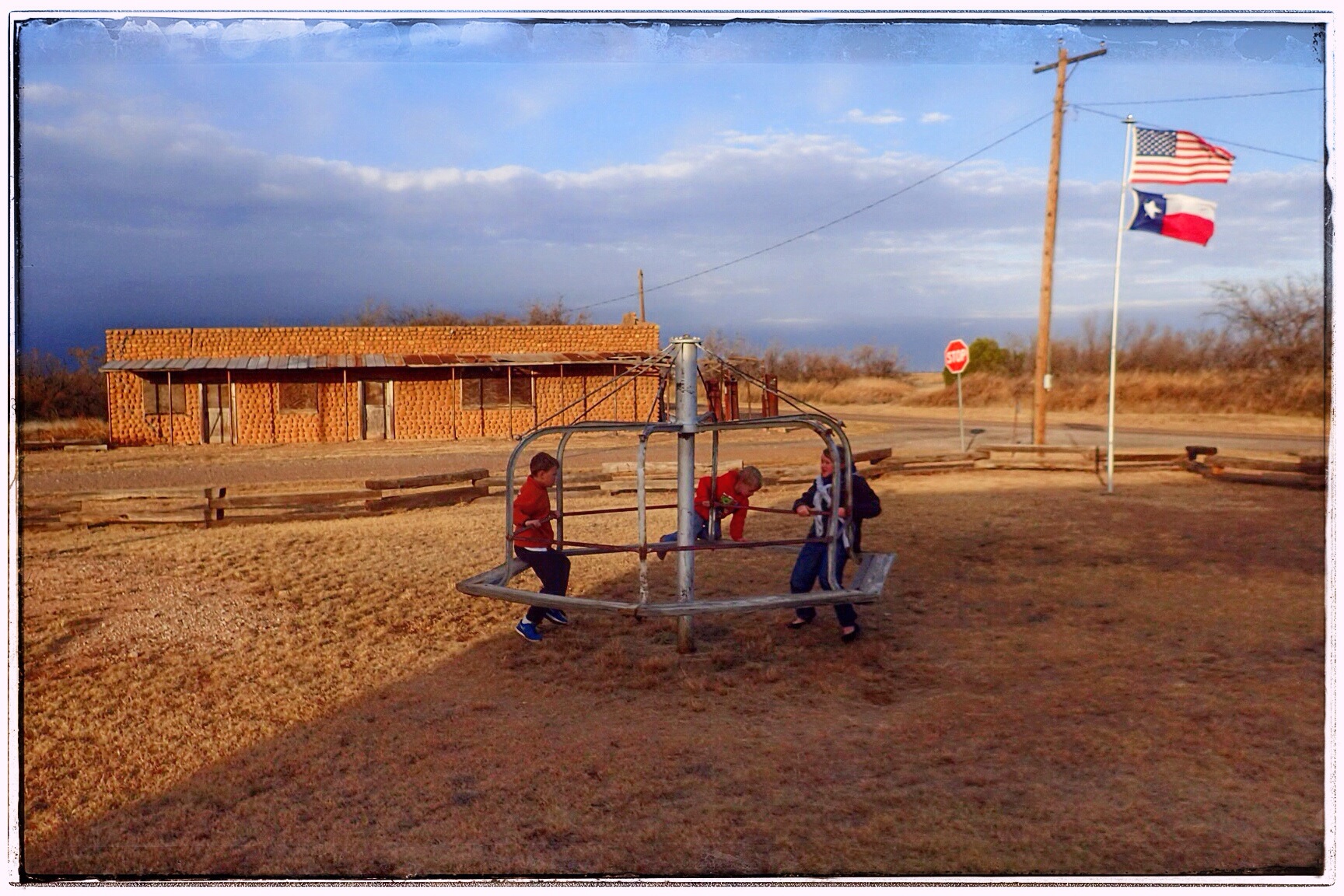
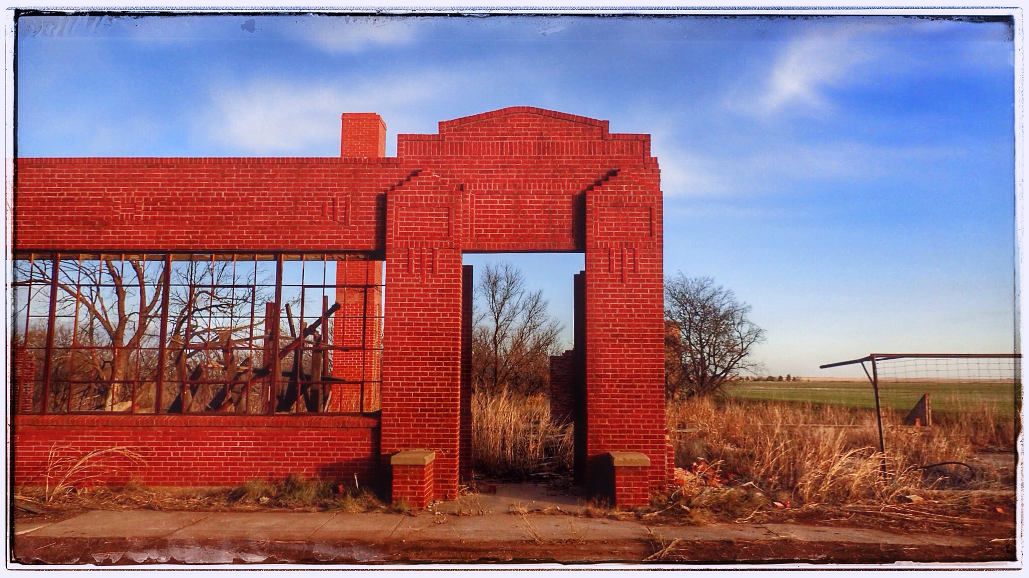
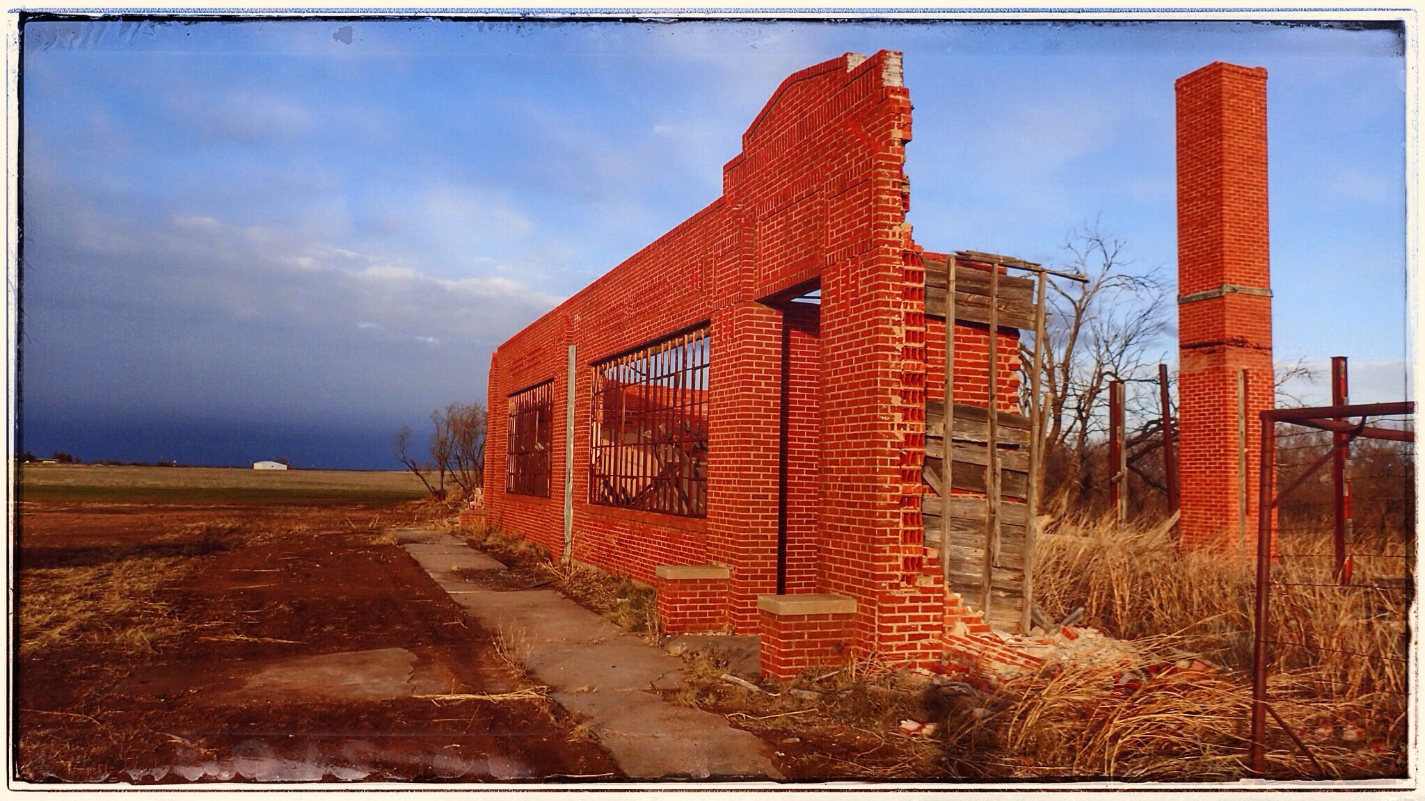
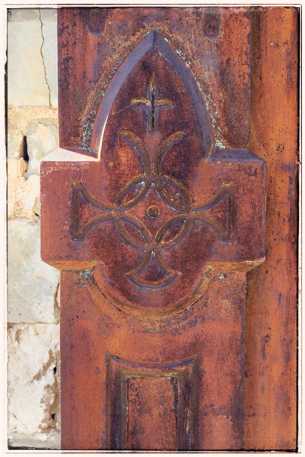
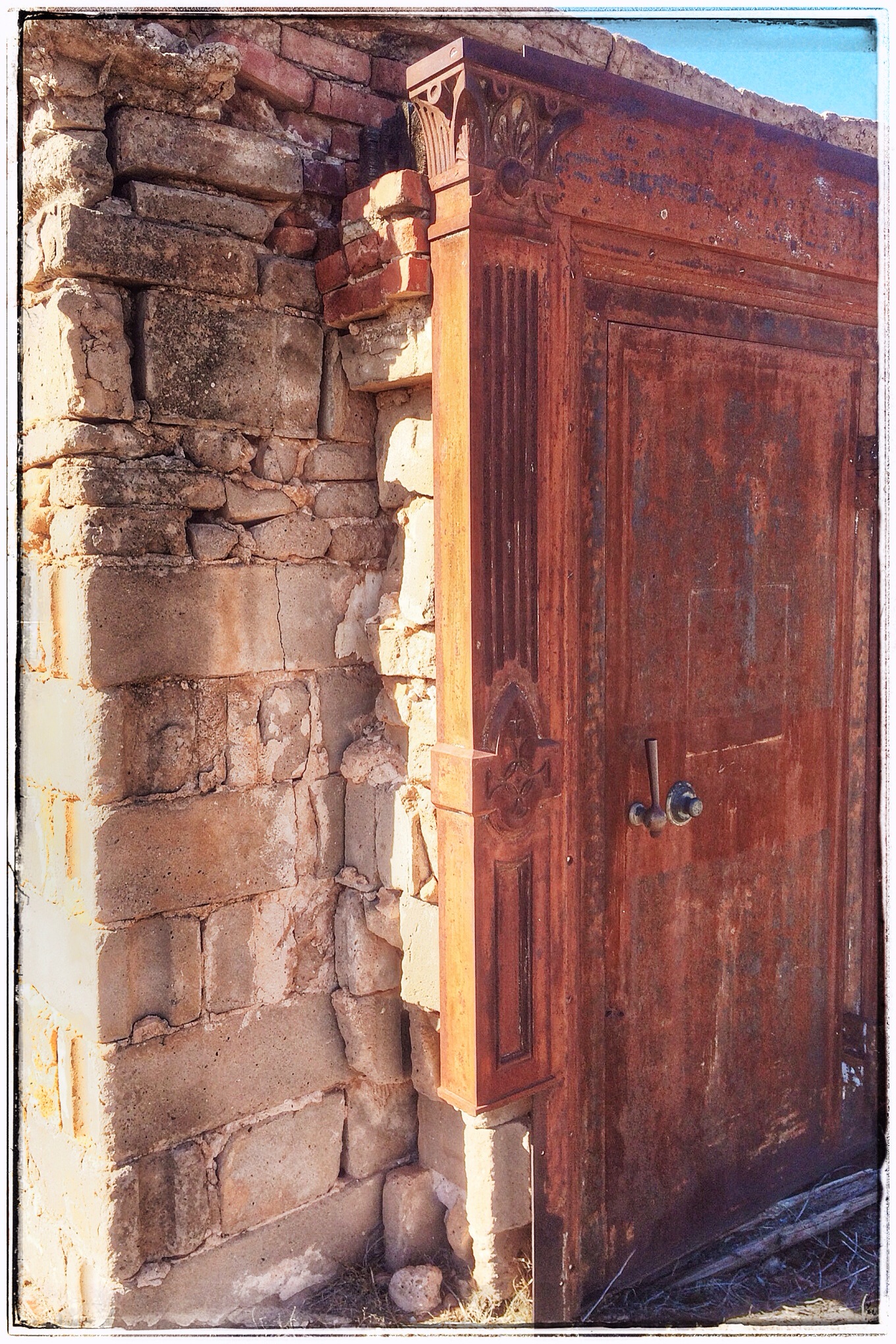
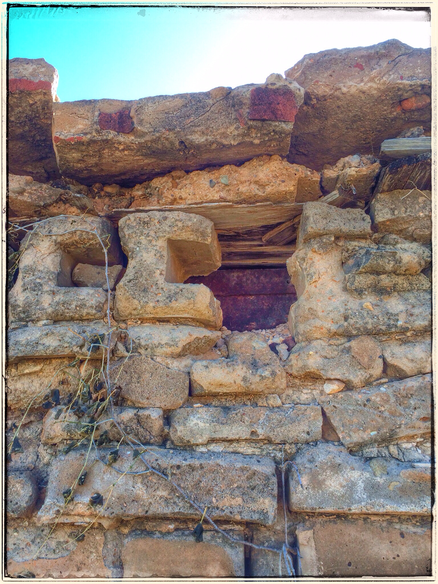
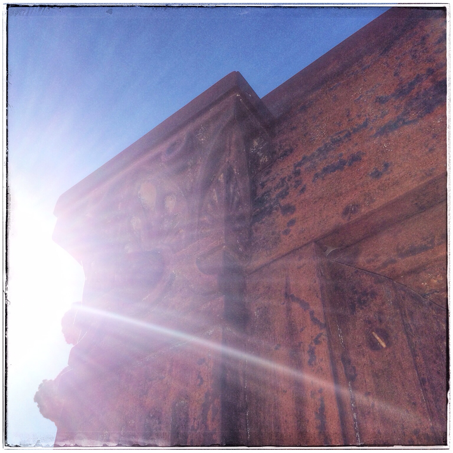
The town of Friendship was founded in the 1880s by Czech immigrants. By the 1920s, there was a small community with a school, grocery store, post office, churches, a cotton gin, gas station, a beer joint, and a paved road: FM 971. The MK&T Railroad even had tracks and a bridge through the immediate area. Friendship’s downfall was probably what drew the Czechs to the area in the first place: the San Gabriel River. A severe flood in 1913 caused widespread damage, a deadly flood in 1921 took several lives, and a third destructive flood in 1958 was the straw that broke the camel’s back. Finally, it was decided that it just wasn’t worth it– the San Gabriel apparently wanted Friendship so badly, the people decided that it could have it. Everything and everyone relocated and the dam and lake plans began.

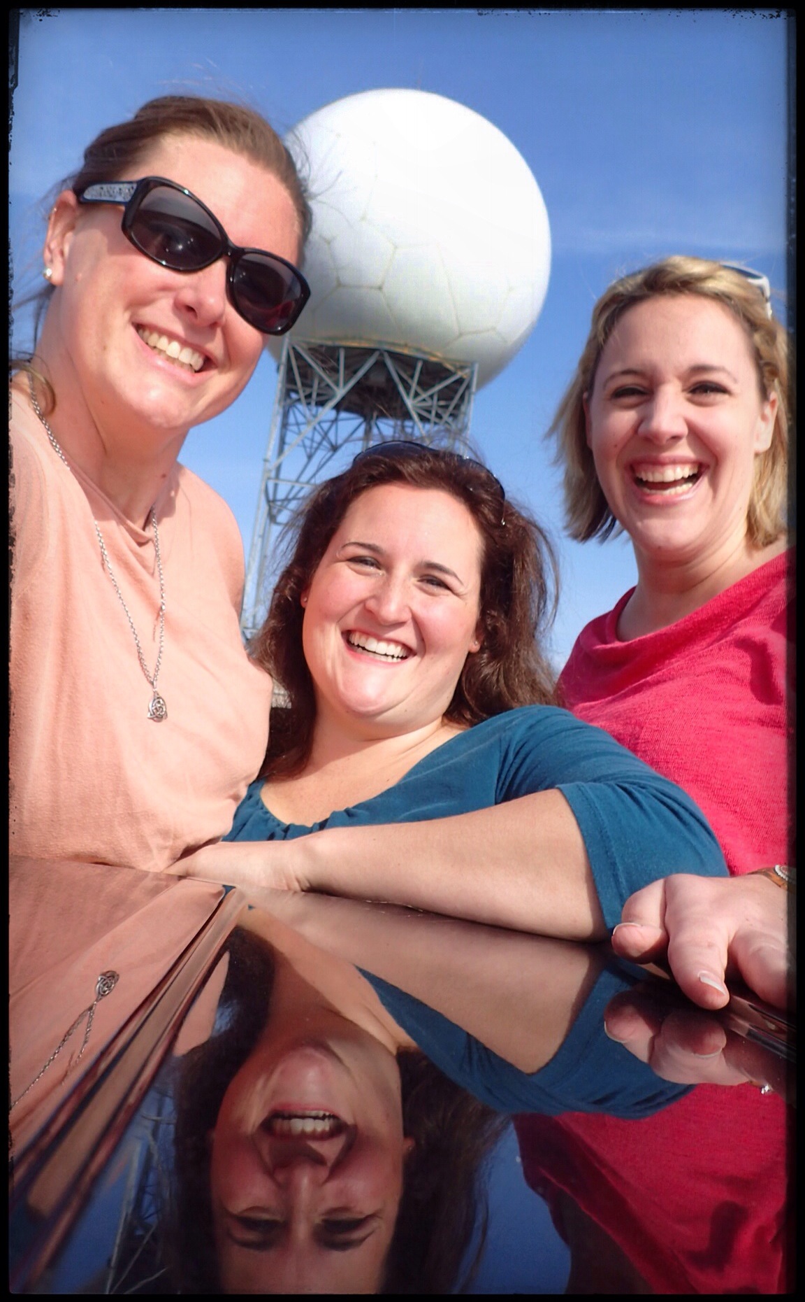
Since a lot of Friendshipians (Friendshipites? Friendshipidians?) had moved over to Granger, we decided that should be our next stop. After a quick photo op at a water tower that looked just like a volleyball– OF COURSE we stopped for a triple selfie, THROUGH THE SUNROOF, because, well, why not?– we headed off to Granger.

IMG_1027.JPG
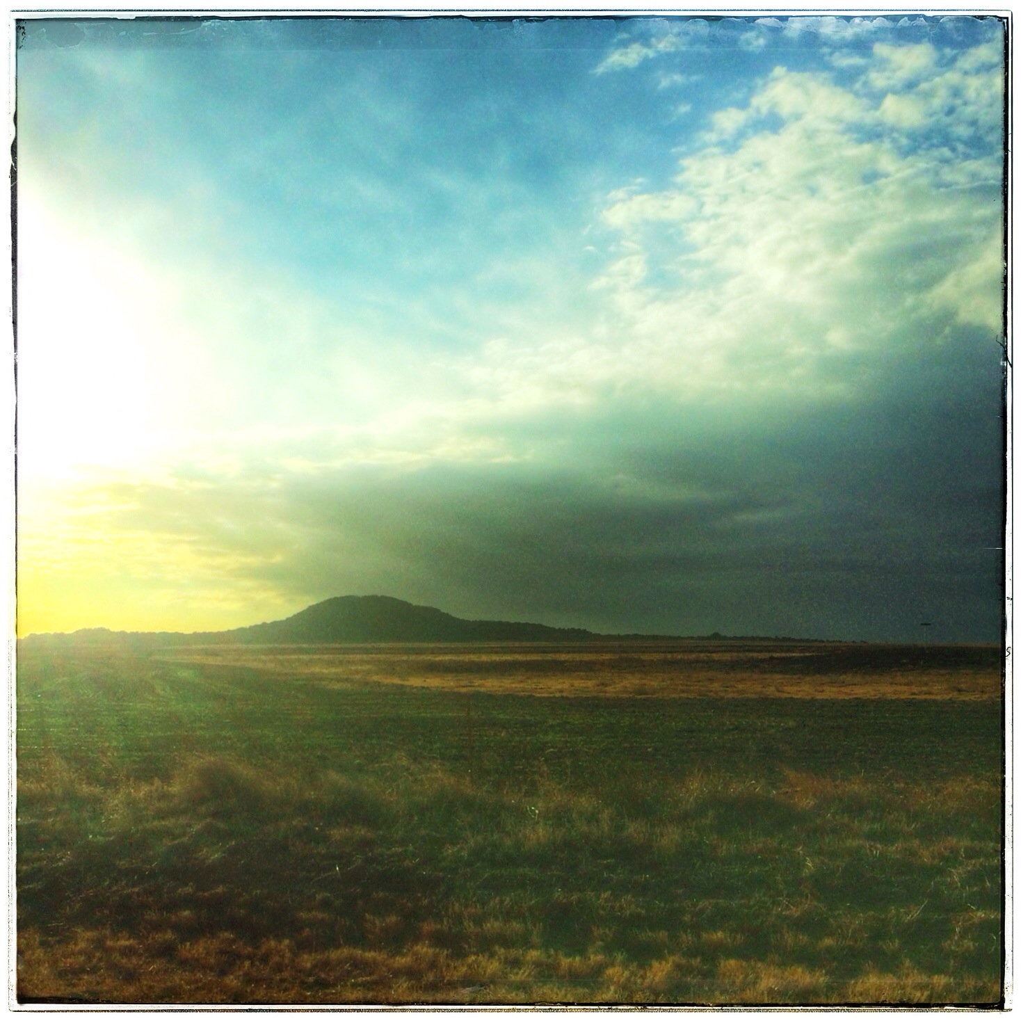
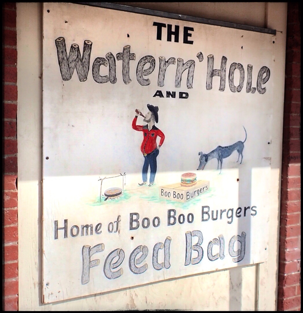
Yet, although Granger was not underwater, there didn’t appear to be anything open on a Tuesday morning. With a population of 1,419, we hoped Granger had something to offer in the way of mom and pop shops, junking, or a cool old diner or something, but no dice. Not even the Watern’ Hole Feed Bag was open. (So sad. We really wanted to know what a Boo Boo Burger was. Granger is such a picturesque town, the setting for all kinds of movies, I’ve heard. But not much I the way of businesses. I’ll have to go back and explore a little.

IMG_1035.JPG
So, next stop? Taylor!

IMG_1042.JPG
And, since we blew into Taylor at the EXACT moment Louie Mueller opened for lunch, we felt it was our DESTINY to carpe diem and see what kind of delicious Q we could score at 11:03am on a Tuesday. Every time the P5 Crazy Train has even attempted Louie Muellers, the “Sold Out” sign has been on the door and the parking lot has been empty. We decided to strike while the pit was hot!

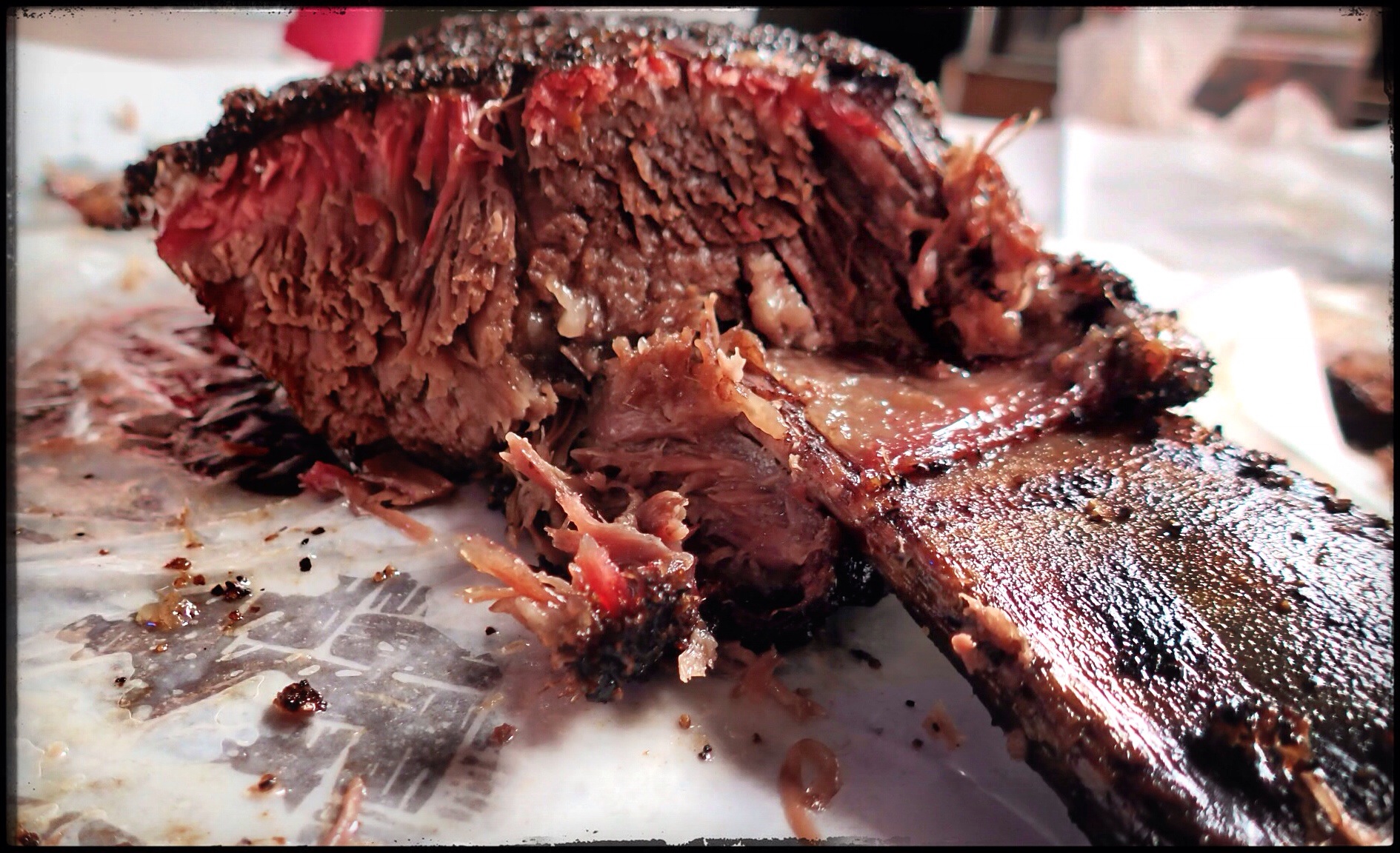
I did feel a little guilty about hitting up Louie Muellers without the hub, but the sweet smell smoke wafting from the building quickly snuffed out those feelings! As we walked in, there was no line…. NO. LINE. And on our journey to the counter, I caught a glimpse of a beautiful beef rib. It would be mine. Oh yes. It would be mine.

IMG_1032.JPG
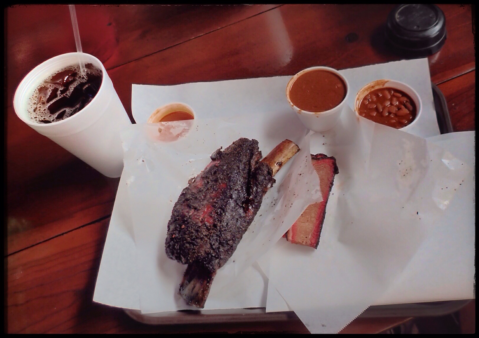
So, Nic and I decided to share the 1-1/2 POUND beautiful beef rib, and we threw in some beans and a slice of lean brisket for each of us, because, well, it’s kinda mandatory. And damn. It was good. However, even two fat chicks with eyes the size of serving platters couldn’t polish off that single rib. We gave it the good old college try, but, no dice. The rib defeated us.

IMG_1030.JPG
But before we called it a day and returned to reality to retrieve all the little people, we hit a few junk shops and found some treasures. I scored some pretty little amber pieces for my yellow kitchen, and Nic made an epic score of her own.

IMG_1033.JPG
Then back to reality. Until Friday, that is.

The Bug Farm, Conway, Texas

IMG_1010.JPG
The last town before Amarillo– or the first after leaving– on Old Route 66, is the ghost town of Conway, TX. Before I40 was routed 1/2 mile north of town, Conway consisted of ranchers and farmers who settled in the area in the late 1800s. The town grew after the Choctaw route of the Chicago Rock Island and Gulf Railroad came through in 1903.

IMG_1009.JPG
In 1967, the Crutchfield family opened a service station and souvenir shop at the I40 exit to Conway. Two years later, the town peaked at a whopping population of 175 people, but a year later, more than half of them had moved away. By 2000, only 20 people remained, and by 2002, the Love’s truck stop across I40 was the main draw in the immediate area. Undeterred by the big guys across the highway, one of the Crutchfields had an idea to lure in customers. He had always loved the Cadillac Ranch out west of Amarillo, so why not create a parody of the attraction east of the city? He put his knowledge of off-road equipment to use and buried five Volkswagon Beetles nose-down, a la Cadillac Ranch, in front of their station. It wasn’t long before the spray painting began.

IMG_0995.JPG
The stunt brought in the local media and drew in some customers, but it was’t enough to sustain the business. In 2003, the Crutchfields bugged out of town, and it has been abandoned ever since. But, that doesn’t stop kitsch-seekers like us from making it a destination point. I’ve heard it’s a great spot for geocaching, if you’re into that. The Bug Farm, or the Bug Ranch, or the Slug Bug Farm or the Slug Bug Ranch, or the Bugg Farm, or the Rattlesnake Curio and Souvenir Shop– whatever it’s called, all that’s left now is a deteriorating roadside attraction with Crazy Train written ALL OVER IT. (Quite literally!)

IMG_0981.JPG
Speaking of souvenir shops, I think I need to interject something here for a quick second. I was a little surprised at the lack of nick-knacks, tchotchkes, tshirts, and other miscellaneous crap available with “Rt66” emblazoned on it. Though relieved not to be nagged constantly for a bunch of crap by my kids, I am sure we could have found something wonderful that we couldn’t have lived without. I’m not sure how I’m going to survive without a Rt66 keychain, or how I am gong to feel in six months when I am not yelling at the rest of the Crazy Train when I retrieve a broken Rt66 snow globe from under the seat of the car. But I digress. Back to Conway.

IMG_0985.JPG
The Crazy Train had almost as much fun at the Bug Farm as they did at Cadillac Ranch. We climbed around an old Ford(?), took a fantastic family picture, and William even found a partially filled can of spray paint and the kids got to leave their mark both east and west of Amarillo. We were the only ones there, and it was a little warmer and slightly less windy than Cadillac Ranch had been. It’s definitely worth a stop.

IMG_0990.JPG

Preface to Route 66

IMG_0955.JPG
When we decided to go up north to Route 66, I was really, REALLY excited. Not because I’m a history nerd, but, for all y’all who don’t know me, I’ll give you a partial autobiography of the Crazy Train’s navigatrix.

Primarily, I am a photographer. As far back as I can remember, I usually had a camera with me. So when I joined the yearbook and newspaper staff in high school, toting a camera was nothing new. I majored in Photocommunications at St Edward’s University in Austin and afterwards, began (but never completed) an MFA in photography (someplace else). While life took me in other directions, photography was always my touchstone. After having kids, I dabbled in family portraiture, but that’s just not my wheelhouse. (Environmental portraiture, yes, this stuff people do today? Not so much. I jokingly call myself a MWAC to my photo friends, and they just laugh at me, saying if anyone is NOT a MWAC, it’s me.)

IMG_0956.JPG
To get to the heart of my love of photography, you don’t go back to my roots–I started too young for that. You can’t really even go back to the first years where I started to explore in photography. But if you go back to college where I first learned about the specific artistic movement that would grab me and bring out the artist deep within me, then you see why the idea of Route 66 was so exciting.

It was during my studies in photocomm at St Ed’s that I first learned about the art of documentary photography and the photographers of the Farm Securities Administration (FSA). It was from my professor, photographer Sybil Miller, that I learned how photography, quite literally, changed America.

The (FSA) was created in 1937 (an evolution of the Resettlement Administration) in the US Department of Agriculture as a part of FDR’s New Deal. From 1937-1944, the FSA became famous for its small, but highly influential, photography program. Economist Roy Stryker headed up the Information Division of the FSA and launched the documentary photography movement. Though not a photographer himself, Stryker understood the power of the photograph and promoted the camera as a tool to document society. In an age before digital manipulation, TV, and the 24-hour news cycle, a photograph provided solid proof of the conditions and the details in which so many Americans lived.

IMG_0957.JPG
Stryker had a knack for attracting top-notch photographers and for getting the best work from each one. He sent them into the field fully prepared for what they would encounter, and they all knew that an educated, sensitive, understanding, and compassionate photographer could effectively transfer the feelings and emotions of an otherwise silent portion of our population onto film, and in doing so, could cogently share those feelings with the rest of the nation. He was responsible for launching the careers of some of the most gifted and influential photographers in American history. Walker Evans, Dorothea Lange, Gordon Parks, Russell Lee, Arthur Rothstein….

IMG_0958.JPG
FDR’s Brains Trust underestimated these photographers’ ability to produce images that breathed life and emotion and art and empathy and truth into the era. The eleven photographers who worked on the project took on this task of “introducing America to Americans,” and produced approximately 250,000 images– half of which still survive today in the Library of Congress. It wasn’t until these photographs were introduced to the nation that America really understood the depth of the Dust Bowl, the Depression, and the plight of the American migrant farmer.

IMG_0960.JPG
So, let’s put two and two together. Old Route 66 appealed to me, not just because I’m a history nerd, but because I wanted to walk in the footsteps of some of my favorite photographers–the very men and women who have influenced my vision for the last 20+ years. I wanted to see the places they visited and photograph some of the places they photographed.

But, time marches on, and, to my disappointment, it has trampled all over Old Route 66 like a steamroller over a flowerbed. Texas is usually wonderful about preserving our historical places, but this was not true for the 178 miles of Texas’ portion of “The Main Street of America,” the road taken by hundreds of thousands of Americans during the 1930s. This legendary road that follows the path of Native Americans, conquistadors, cattle and oil barons, cowboys, and Dust Bowl refugees has been replaced by US40, and is mostly unmarked (as Rt66). The iconic signs are gone, both from the road and from many of the places that made it famous. (Route 66 is the ONLY National Highway to be decommissioned from the original 1926 grid created by the US Highway System. Shameful.) The landmarks have all but disappeared. And, without a doubt, our stretch of The Mother Road will disappear into myth and lore, replaced by something newer, something better, and sometimes, by nothing at all.

IMG_0940.JPG

The Cadillac Ranch, Amarillo, Texas

IMG_0874-0.JPG
We are suckers for roadside kitsch. We LOVE them. So, of course, the Cadillac Ranch was tops on our list of MUST SEE attractions. As a Native Texan, I thought everyone had heard of the Cadillac Ranch. It’s legendary. But, it has come to my attention recently that there are people who have never heard of it. I even talked to a non-Texan who has driven past it multiple times and never knew what it was. When I told him we were going, he had NO CLUE what I was talking about. He said it sounded like a brothel. OMG… NO!

IMG_0880.JPG
For all y’all who’ve never heard of the Cadillac Ranch, here’s your history lesson: Stanley Marsh 3 was an eccentric Texas millionaire who believed that rich people had a responsibility to behave unusually and interestingly. He was a legend in his own time for his pranks. He believed in art for the sake of art, and he had a hilarious sense of humor. I read in TX Monthly that once, he threw a party for some Japanese businessmen where he only invited men who were over 6’4″ to reinforce the stereotype that all Texans are tall– HILARIOUS! His eccentric sense of humor has been displayed throughout Amarillo over the years through various installation art pieces and public pranks. Oh, Stanley Marsh 3…. If I was a bazillionaire, I think I’d use your pranksterism as inspiration!

The most famous of Marsh’s art pieces is the “Hood Ornament of Route 66,” the amazing homage to the golden age of American automobiles and Route 66 and roadside kitsch and just plain AWESOME– The Cadillac Ranch.

In 1973, Marsh invited a San Francisco artists collective called the Ant Farm to his Amarillo ranch. The group bought 10 used Cadillacs (model years 1948-1963) from salvage yards, averaging $200 each. The cars were partially buried, nose down, in a line facing west, along Old Route 66. At first, all the Caddies were their original, factory colors, but over time, visitors and tourists started scratching their names in the paint and spray-painting the cars. And then the vandals and souvenir hunters stole everything they could pry off the vehicles (windows, doors, radios, etc.) until Marsh had to have the axels welded to the frames to prevent future theft.

The great thing is, Marsh LOVED the fact that everyone visited and spray painted the Ranch. He encouraged it, and always said he thought it looked better every year. In 1997, the entire shebang, including the trash, was dug up and moved 2 miles west to escape urban encroachment. There are always people visiting and painting. I bet that if you visited every day for a whole year, you’d see a different picture every day.

OK, enough on the Cadillac Ranch itself. Y’all want to hear about OUR trip, right?

IMG_0897.JPGWe arrived at about 10:30 on a Monday morning. Clear skies, cold breeze, practically empty. And yep. We are THOSE PARENTS. We are the parents who stopped at Home Depot on our way there and bought $20 worth of spray paint and then turned the kids loose to explore the aerosol arts. It was fantastic. Three kids, six cans of spray paint, ten Cadillacs, and, for the most part, we had the place to ourselves. They made art, they ruined their clothes, they got covered in paint that was next to impossible to get off, but they also made memories that will last way, WAY longer than any of those other things.

To quote William, “It was the best day EVER!”

IMG_0881.JPG

The Town of Medicine Mound, Texas. Population: 0

IMG_0823.JPG
While doing on-the-road recon for Ft Phantom Hill, we stumbled upon the name of a town that promised to be well worth a detour. Medicine Mound, TX has been called (by texasescapes.com) “Texas’ most interesting ghost town,” and when we see a claim like that, the first thing the Crazy Train’s Pilot and Navigatrix say is GAME ON!

This tiny town is surprisingly easy to find (unlike most ghost towns) as it’s still on most maps. Named for the nearby Medicine Mounds, the town was created when the Kansas, Mexico and Orient Railroad Co. extended their line in 1909. Almost immediately, business sprung up and more families arrived in the area. With a population of 500 and 22 businesses at its peak in 1929, Medicine Mound had promise.

IMG_0830.JPG
But the Stock Market Crash in 1929 was immediately followed by a decade of depression, drought, and dust storms. It was during this time that a bizarre series of events unfolded that would destroy this community, leaving it LITERALLY in ruins.

IMG_0833.JPG
This, my friends, is a story worth reading. (See bottom for explanation of my new word!)

IMG_0822.JPG
But first, OUR trip!
When we arrived in Medicine Mound, the cold wind was blowing a storm into town (and blowing my hair out of my ponytail!). The sun was on its way down, casting long shadows and giving everything really intense colors.

There are essentially three buildings left in town: 1.) The Cole building, which is now a museum run by a town native who lives nearby. We hear she opens for a few hours on Saturdays, but it wasn’t while we were there. 2.) The gas station, which is FLIPPING AWESOME with the old gas pumps still standing out front. 3.) The schoolhouse which is maybe 500ft away, down a dirt road (yet we were lucky enough that it was MUDDY!).

IMG_0831.JPG
Between the buildings is a little merry-go-round, so while I was kodaking at the gas station and Mark was peeking around the Cole building, the kids got to run wild. Since the biting wind had numbed our ears and we didn’t want muddy kids in the car, we drove to the schoolhouse and I jumped out and sacrificed my boots for some great pictures.

IMG_0828.JPG

IMG_0829.JPG
This place was really cool. And if it hadn’t been so windy and cold, and had the museum been open, and had the sun not been so close to setting, we might-would have stayed and kodaked a little longer.

IMG_0832.JPG
Ok, back to the history. What happened to Medicine Mound?

At about 3:00am on March 31, 1933, Mrs Ella Tidmore BURNED DOWN THE TOWN.

The sad story of the Tidmore family was mostly a well-kept, small-town, secret for more than 65 years. The act of arson was not investigated (or even reported) although over $50,000 (about $1M today) in damage had been done, and all but 2 buildings in Medicine Mound were burned to the ground.

The Tidmores were one of the first families to settle in Medicine Mound, arriving before the railroad in 1902. By all accounts, the Tidmores were the perfect family. They were socially prominent, wealthy, active members of the community. Jim Tidmore was a deacon in the church and had higher ambitions than farming– he opened the town’s first commercial real estate venture. The large, extended Tidmore family was well liked, healthy, intelligent, and good looking. But when things went bad, they went BAD. Unrequited love, extramarital affairs, prison sentences, suicide, multiple divorces, several attempted murders, drowning, untimely deaths, theft, well poisonings, several acts of arson and a tale of insanity so incredible– really, you’ve got to read it to believe it.

The lasting effect the Tidmore family had on Medicine Mound happened on the windy night of March 31, 1933. It was 3am when Ella, by then completely insane, set fire to the barber shop on the south end of town. As the fierce south winds whipped across the plains, it wasn’t long before the entire town was engulfed in flames, leaving only two businesses standing. Even the bank vault collapsed, destroying all the town and financial records. Throughout it all, neighbors said they saw Ella standing on her front lawn, laughing.

Between the destruction in 1933, a freak snowstorm in April 1938, WWII, and the Industrial Revolution, Medicine Mound quickly became one of Texas’ most fascinating ghost towns.

(Full story here: http://texashistory.unt.edu/ark:/67531/metapth26723/m1/20/)
If you have time to click around this book, it’s so awesome. It’s a book filled with hilarious (and sometimes tragic) small town stories and gossip. There is some fantastic stuff in there. I wanted to buy a copy, but I could only find one online for sale, and it was $135.00. Yeah. No. But, I have read a bunch of the stories, and from one of them, I added a new word to my vocabulary:

KODACING (or KODAKING).

the -ing form of the word, appropriate in almost every situation, of the word Kodak. As in the camera/film/etc. company. In the book, it’s spelled with a “c,” but I prefer a “k.” Example: While in Medicine Mound, I enjoyed kodaking around the town. A common pastime in Medicine Mound in the 1920s was kodaking on the Mounds. Unfortunately I don’t get to use many Kodak products anymore, but it’s my homage to George Eastman!!! It’s so DORKY it’s AWESOME!!!!

IMG_0834.JPG

IMG_0825.JPG

IMG_0824.JPG

The Medicine Mounds

As we detoured to the east on Hwy 287 from Quanah towards Chillicothe en-route to what was promised to be the COOLEST ghost town in Texas, I turned to the almighty interwebs for information on where we were. The natural wonder we were approaching was a fantastic diversion along the way.

IMG_0805-0.JPGIn southeastern Hardeman County is a line of four cone-shaped dolomite mounds, the erosional aftermath of the Permian Age (225-270 million years ago). Flanked to the west by a washed-out ancient buffalo trail and surrounded on the other three sides by rich cotton and grain fields, these giant hills (the tallest is 350′) seem to come out of nowhere in the otherwise flat land.

IMG_0803.JPGThe Commanche Nation believes two of the four (the tallest two, Medicine Mound and Cedar Mound) to be sacred ground, and since the late 1700s have come here to drink the healing waters from the gypsum spring, gather medicinal plants and herbs, and communicate with nature and the spirit world. On a clear day, they say you can see more than 60 miles from the top of Medicine Mound. It is also believed that a great and powerful benevolent land spirit resides at the flat cap-rock atop Medicine Mound, and communing with the spirit at this powerful place would cure ills, assure successful hunts, and protect them in battle.

IMG_0804.JPGToday, the Medicine Mounds lie on a 2,600 acre private ranch owned by the Summerlee Foundation in Dallas who not only safeguards it for historical research and wildlife preservation, but also allows the Commanche Nation use for spiritual purposes. Pretty awesome.
The vibrant colors and the speed at which the light changed out here was fascinating. It was VERY windy and VERY cold. Ear numbing cold. Hair frying everywhere cold. But there was no time to waste, so I took what I could while we sped to our next stop. I love the colors up here!

Benjamin, Texas

As we made our way north up Texas 6, we entered the City of Benjamin, pop: 264. As the Knox County Seat and the town boasting, “Small Town, Big Country!” we hardly expected a bustling metropolis, especially on a Sunday afternoon. What we DID find was one of the most unique things– no, TWO of the most unique things we have yet to find in our travels. According to their Chamber of Commerce (remember, I do a little recon on the way into a town) we expected mesquite trees, cowboys and horses, a little tumbleweed, and, of course, a town square with a courthouse.
So as we drove the Square in our usual pattern (see The Crazy Train’s 10 Rules of the Road Trip), and we stumbled upon this, we HAD to stop and investigate.

IMG_0796.JPGThe town of Benjamin used to have a bank on the Square. But now, the bank is gone, but the vault…. well, the vault remains. It’s a massive iron structure that is mostly still surrounded by deteriorating brick and crumbling mortar. In these gaps, you can see that the vault, rusted to a brilliant shade of deep red-orange, is still completely in tact. OF COURSE I had to play with the dial (it still spins, although with some difficulty) and the handle jiggles a bit. But, alas, it is locked up tight, and since I neglected to bring my frontier bank vault safe cracking kit and nitro glycerine, I wasn’t able to get inside. Plus, it’s right next door to the Sheriff’s office, and I didn’t feel like getting arrested for attempted bank robbery.

IMG_0797.JPG

IMG_0799-0.JPG

IMG_0798-0.JPGUnfortunately, no amount of googling yielded any juicy details as to how this came to be, but one can only fantasize. Buildings come and go, but a solid, iron cast vault doesn’t vanish so easily!

IMG_0800-0.JPGThe other fascinating bit we found in Benjamin was the old jail. The old Knox County Jail has been converted into a private residence, which was pretty freaking awesome. I’ve always thought it’d be fun to convert an unconventional structure into a house, so this really appealed to me. HOWEVER, when we saw this, my mind was still consumed with the vault, so I didn’t get any pictures. I guess this means we will just have to go back!

IMG_0801.JPG

IMG_0802.JPG

Fort Phantom Hill

IMG_8531-0.JPG Just north of Abilene, Texas on FM600 lies the remains of Ft Phantom Hill, a little gem of a ghost town that began in the early 1850’s to protect westward moving settlers from the Commanche.

IMG_8537.JPG The Fort is at the Clear Fork of the Brazos River. It was originally planned for Elm Creek, but a new general, changed the plan. This new spot had brackish water, no wood for construction, and…. isn’t that enough? They hauled in stone from Elm Creek, 2mi away (ironic, huh?) and brought oak logs from about 40mi away.

IMG_8532-0.JPG Though never officially named, the Fort was referred to as “The Post on the Clear Fork of the Brazos.” (But I bet the soldiers called something more colorful.) The name “Fort Phantom Hill” refers to the apparitions inhabitants have claimed to have seen there from the start.

Life at the Fort– for lack of a better word– sucked. Elm Creek (2mi) was often dry. The Clear Fork’s water was brackish. The 80ft well was unreliable, and hauling water from a spring 4mi away (again) SUCKED. With this water supply, gardens couldn’t be kept and the men got scurvy, fever, pneumonia, and dysentery. The most common pastime was desertion. They say the ONLY positive thing about the Fort was the view.

IMG_8538.JPG Since virtually all Commanche encounters were peaceful, the Fort was abandoned in 1854. As troops left, the Fort was ablaze. The official report was that the Indians set the fires, but it was more likely the soldiers torched it in celebration.

IMG_8533.JPG In 1858, the structures were repaired so they could be used as a way-station for the Overland Mail Stagecoach Line. In the Civil War, it was used as a field ops base, and in 1871, it was a sub post of nearby Ft Griffin. In 1876/77, it was a buying/shipping point for buffalo hides, and by 1880, the town that had sprung up had over 500 residents. Jones was named County Seat, but 6mos later, County government had moved to Anson and the Texas & Pacific Railway was routed 14mi to the south, thus ending the run of Fort Phantom Hill.

In 1928, the site was bought by private interests, and in 1969 it was deeded to the Ft Phantom Hill Foundation to ensure its preservation.

Today, it’s one of Texas’ most pristine historic sites. Strolling among the dozen or so chimneys and buildings on the 22 acres is a spiritual experience. Entrance is free, and they have brochures and clean bathrooms. Everything is clearly marked. Don’t trust your GPS or any addresses or other directions. The site is about 15-20 minutes up FM600 from Abilene. Just keep your eyes open and you’ll see it. If you miss it, you’re not paying attention.

IMG_8529.JPG Don’t miss it. It’s a fantastic piece of history.

IMG_8535.JPG Oh yeah. If you want a family photo, bring a tripod. Finding things to make a camera stand was NOT easy. I couldn’t even find stuff to raise my fancy-schmancy little candy apple red picture making magic box… I can’t imagine trying to find stuff to build a FORT!

IMG_8540.JPG
Take only pictures,
Leave only footprints,
Keep only memories,
Kill only time,
Waste nothing,
and
Always leave a place
better than you found it.

2014 Thanksgiving Trip, Day One

IMG_7650.JPG

We left during a storm– a huge rainstorm that brought with it a massive cold front. Driving towards it, we could watch the storm system move towards us, unobstructed by urban growth and progress. It was fun to watch the sky as we drove northward, and to see the temperature steadily drop. Unfortunately, once we met up with the clouds, the sky opened up and it rained buckets and buckets. Cold + Downpour = No Pictures… for awhile, anyway.

The Crazy Train’s 10 Rules of the RoadTrip

The Crazy Train….

I started calling the entire family “the Crazy Train” a few years ago because when we are all together in the Land Yacht, we are all just a little crazier and a little more likely to go “off the rails.” We like to explore. We like to take the roads less traveled and to see the places not everyone likes to see. One of the Crazy Trains’ favorite movies is the 2006 Pixar film “Cars.” In one memorable scene, Sally and Lightening McQueen look down into the canyon at the old Rt66, and the following conversation occurs:

Sally: Forty years ago, that interstate down there didn’t exist.

Lightning McQueen: Really?

Sally: Yeah. Back then, cars came across the country a whole different way.

Lightning McQueen: How do you mean?

Sally: Well, the road didn’t cut through the land like that interstate. It moved with the land, it rose, it fell, it curved. Cars didn’t drive on it to make great time. They drove on it to have a great time.

IMG_7966

That sort of sums up our philosophy of our family road trips. We don’t set out to get from Point A to Point B in record time. We like to see what’s along the way. We want to see all those towns that were bypassed by the interstate. And, often, we like to see the towns that were bypassed by the railroads. The landscape is dotted with towns that were once thriving communities with hard-working people. There were fantastic little town squares with courthouses and pharmacies and general stores and post offices and banks. And many of them still stand, mostly empty and unoccupied, left deserted by pioneers and speculators and settlers who came out west to make their fortunes and start their lives.

When we road trip, we have rules, and these rules are simple.

1. We do our best to avoid the interstate. With GPS and a host of different apps on our iPhones, we can find our way through the backroads of Texas without too much trouble. Sometimes it’s an interesting stretch of road. Sometimes it’s not. But it’s never a crowded highway with the same signs exit after exit after exit.

2. We avoid chains whenever possible. What is the fun in visiting a new place only to eat in a restaurant that has the exact same menu and the exact same decor and the exact same layout as the city you just left? There are some fantastic mom and pop restaurants and shops out there, waiting to be found. We have had some amazing meals in the most surprising places. Again, we utilize our iPhones to direct us to places, or, better yet, we ask around. One time, we were in an antique/junk shop in a ghost town (I’ll blog about this one!) when the owners practically forced us into what appeared to be a dive bar across the street. What we experienced was a phenomenal little restaurant in the middle of nowhere, filled with the nicest people. Never judge a book by its cover! The only exception to the “no chains” rule I make is when it comes to hotels. My priorities are VERY different when it comes to where I sleep when I am away from my own bed. My priorities are these (in order of importance): 1. Safe, 2. Clean, 3. TV, 4. Texas shaped waffles.

3. One pilot, one navigator. I am the Navigatrix. I’ve mastered interpreting the backroads via iPhone and iPad quickly and efficiently. I follow the car (the blue dot) on the iPad, and I plot our next stop on the iPad, and I use the iPhone to look up other things along the way. There are some fabulous Texas history apps that I use constantly while we are on the road. Texas Landmarks by Atomic Axis is a staple for us on the road. We also heavily rely on Texasescapes.com, Texas in a Pecan Shell (tshaonline.org), Trip Advisor, TX Monthly BBQ Finder, and Google. The Hub drives and I tell him where to turn. If you are going to navigate, you need to pay attention and learn how to read a map. Sometimes I get wrapped up in other things and we miss turns. I like to blame the Hub, but as the Nav, it’s really usually my fault.

4. Don’t pass up a great photo op. Did the Crazy Train drive 45 minutes (one way) out of the way on Thanksgiving Day to take a family photo in Turkey, TX in front of a statue of a bronze turkey? YES WE DID. Another time, we drove for three hours to find a ghost town that bore our last name. Unfortunately, it was the WORST ghost town EVER, and NOTHING remained with the name “Phelps” on it, so we….

5. Be ready to execute Plan B. Sometimes, like on our trip to Phelps, the town ends up being a big, huge disappointment. So we checked the map and found somewhere else to go. We found that Huntsville is a BEAUTIFUL little town, not just home to a huge prison.

6. Find the history. There’s some cools stuff that happened all around us a really long time ago. Find out about it and go. Fourth grade Texas History was SO easy for my daughter because she had been to all the places they studied. The 1835 “Come and Take It” cannon in Gonzales? She’d seen it. Goliad? Been there. The Alamo? Remembered it. History comes alive when you walk in the steps of those who came before you. And it’s really, really interesting.

7. Technology. See #3. And when you have no signal? There’s this old-fangled thing called a MAP that you can get and fold up and keep in your glove compartment. They are really cheap.

8. Have a small town plan of action. Here’s ours: First, we find the courthouse and/or Main Street. We drive the full length of Main Street (here’s a hint: about 90% of the time, it’s actually CALLED MAIN STREET). Then we turn around and drive it the other direction. Then we drive the immediate side streets. They are often just as interesting, if not more so. Look at the signage (both current and what is painted on the buildings behind the signs). Park and get out and walk. Visit the shops, get some iced tea or a Coke somewhere. Since the Hub is a pharmacist, we ALWAYS try to find out where the town pharmacy was (you can tell by the fixtures). Find the bank– the bank may close, but the vault almost always remains. If there’s a shop in its place, you can usually go into the old vault. If you see something unique and interesting, support the small businesses. They keep these towns alive.

9. What is a town or a region known for? Here in Central Texas and the Hill Country, we’ve got BBQ and Kolache. We LOVE to taste test! Why go into a chain and get something that’s been frozen and shipped to a rest stop somewhere when there just might be a baker like Mimi who has a secret recipe that will stop you in your tracks? Or a pit boss like Miss Tootsie who runs a smoker like nobody’s business. Try it. When we are in the BBQ belt, we get BBQ. When we are in South Texas, we get BBQ. When we are in Czech Country, we go for kolache and sausage. Have a beer in Luckenbach or go to a rodeo in Bandera. Do what a town is known for!

10. Enjoy the journey. We have so much fun in the car. Our trips usually don’t cost more than the price of a tank (or two) of gas and a meal or two on the road. That is MUCH more memorable than an afternoon at the movies and dinner out for 5 people.

So, now you know our secrets of the road. I am off to check my camera for what to post about first! Stay tuned because I have a whole lot of fun road-tripping to catch up on! (And in the future, there will ALWAYS be pictures!)